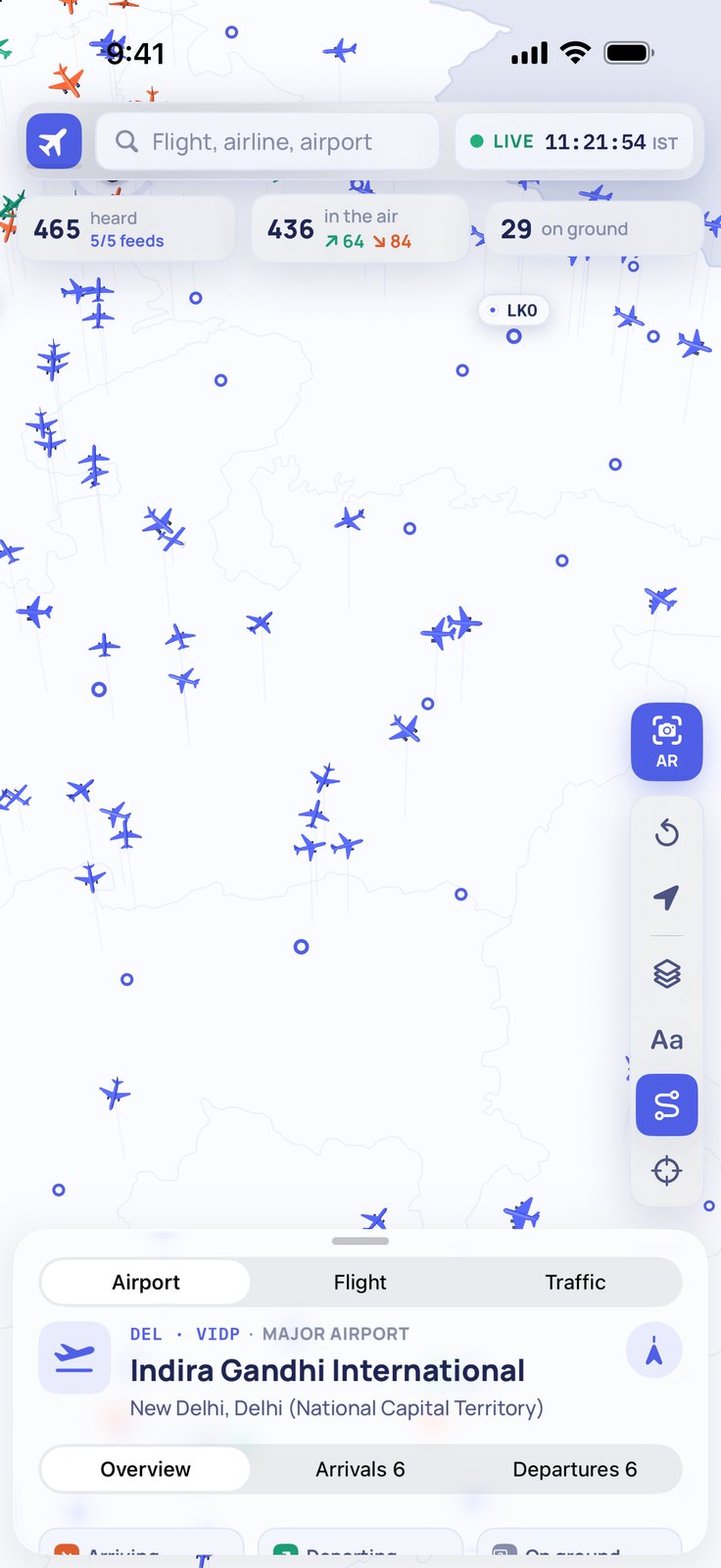
Isoplanes answers that. The free iPhone app draws every aircraft it can hear on a live 3D map, and its Sky AR mode lets you point your camera at the sky and see each aircraft's callsign sitting right where the plane is.
If you have heard a plane overhead and wondered what it was, the answer takes a few seconds: open the app, raise the phone, and the label is there.
Where the data comes from
The map runs on ADS-B — short radio broadcasts that most commercial aircraft transmit several times a second, carrying the callsign, position, altitude, speed and heading. Ground-based volunteers run receivers that pick these up and feed them to aggregators; Isoplanes draws from adsb.fi, adsb.lol, the OpenSky Network and Xeve's own receiver.
That means coverage follows the receivers. It is denser around cities and thinner over open country and sea. Aircraft that are not transmitting — military flights, some private ones — will not appear on the map. Isoplanes is an unofficial app and is not for navigation; treat the data as the best available picture, not a certified one.
With that said: for every aircraft that does appear, the position is real. The altitude is real. The updates are live.
The 3D map
Most flight-tracking apps flatten everything onto a 2D plane and colour-code altitude. Isoplanes draws each aircraft on a vertical stalk so you can read the airspace at a glance. An approach corridor becomes a stepped line of stalks descending toward the runway. A stack of aircraft holding at different altitudes looks like a stack.
Coloured trails show the recent path. Zoom in and the airport geometry appears — runways and their markings. Zoom out and the pattern across a whole country comes into view.
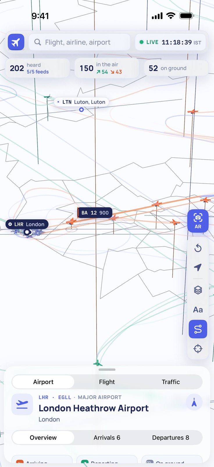 Heathrow at low level. Coloured trails show the recent path behind each aircraft; Luton is in the upper frame.
Tap any aircraft and a panel opens with its callsign, airline, aircraft type, departure airport, destination, current altitude, speed, climb rate and an estimated arrival time — all updating as it flies.
Sky AR
Sky AR is the direct answer to the question in the title. Point your iPhone at any part of the sky and each aircraft is drawn at the position it really occupies, with its label overlaid on what the camera sees. If you have selected a specific flight on the map, a guide arrow points you toward it even when it is behind you or above the frame.
You do not have to guess which dot on a 2D map corresponds to the plane you just watched pass over. You raise the phone and the label is exactly where the plane is.
Flight details
Tap any aircraft on the map, in Sky AR, or search by flight number, and the Flight panel shows everything currently known about that journey.
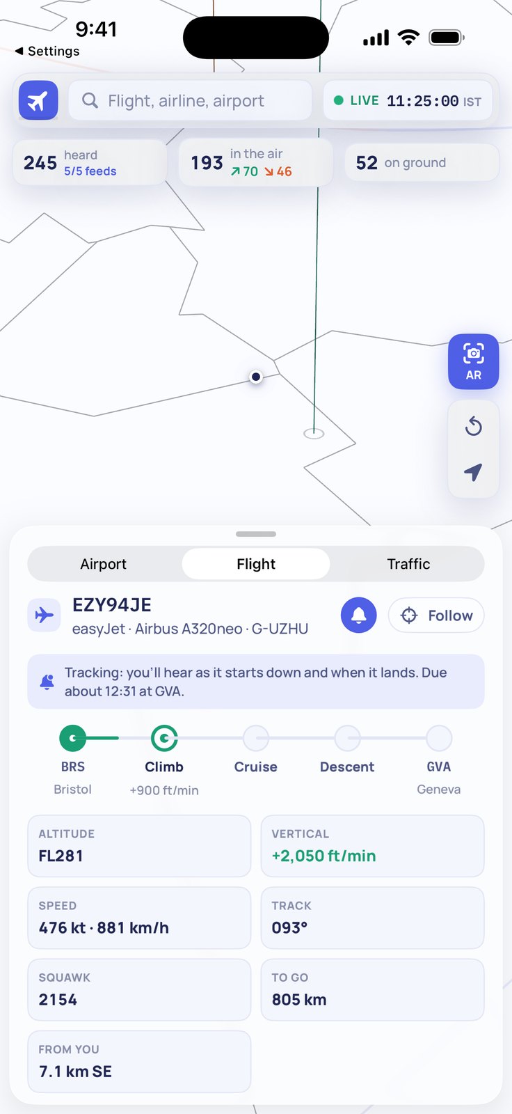 The Flight panel. The route stepper across the top places the aircraft in its journey; below are altitude, vertical speed, ground speed, track, squawk code and distance to destination.
The route stepper across the top marks where the flight sits in its journey — departure airport, climb, cruise, descent, arrival airport. Below that come altitude, vertical speed, ground speed, track, squawk code, distance to destination and distance from your location.
If you want to follow a specific flight, tap the bell. Tracking sets up alerts across the journey — from taxi and takeoff through the start of the descent, ten minutes out and landing, to a delay or a gate change. For anyone meeting a flight, checking whether cargo arrived or following a family member in the air, that covers the cases.
India
India gets the full airport treatment. Every airport in the country appears on the map with its runways and markings, and the twenty busiest get their taxiways, aprons and terminals mapped in detail. Everywhere else in the world gets countries, borders and more than three thousand airports with their runways, but India gets the same level of detail that other flight apps give their home countries.
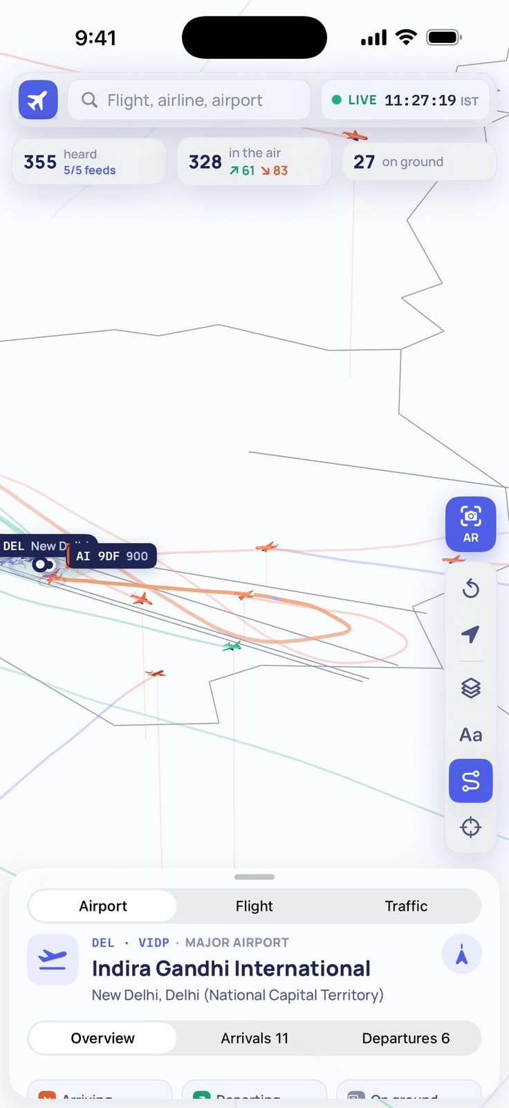 Delhi International, tilted view. The runway markings and an aircraft's approach track on the live map.
Tracking a flight on the Lock Screen
Once you are tracking a flight, Isoplanes runs a Live Activity on the iPhone Lock Screen and in the Dynamic Island. It shows the route, the phase the aircraft is in — climbing, cruising, descending — departure and estimated arrival times, and current altitude, speed and distance to go, all without unlocking the phone.
When the flight lands or is diverted, the activity reflects it. Urgent alerts — a cancellation, a diversion — come through even if you have set quiet hours for less urgent ones.
Getting it
Isoplanes is free on iPhone (iOS 26 required) and in the browser. The iPhone app is on the App Store. The web app at isoplanes.xeve.io asks for a free account before it shows the live map.
Five tracked flights at a time is included for free. Pro, which raises that limit to twenty-five and adds alert tuning and connection checks, is in a TestFlight beta and coming to the App Store.
The next time a plane passes over and you want to know what it is, raise the phone.